Log in
All resources
Create a design
37 Free Images of Maps Of The History Of Sweden
old maps of the white sea
maps of the barents sea
dutch-language maps
baptista van doetecum
northern sea route
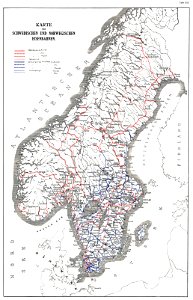
old maps of scandinavia
latin-language maps
1590s maps of norway
1590s maps of sweden
1590s maps of denmark
third voyage of willem barentsz
16th-century maps of the arctic
third voyage of willem barentsz
history of dutch sea fisheries
third voyage of willem barentsz
history of dutch sea fisheries
the voyage of the vega round asia and europe
third voyage of willem barentsz
third voyage of willem barentsz
16th-century maps of the arctic
third voyage of willem barentsz
16th-century maps of the arctic
overwintering on nova zembla by willem barentsz, 1596-1597
maps in the rijksmuseum amsterdam
itinerario (jan huygen van linschoten)
latin-language maps
overwintering on nova zembla by willem barentsz, 1596-1597
maps in the rijksmuseum amsterdam
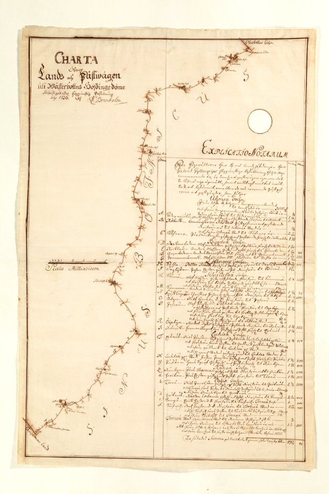
history of rail transport in norway
rail transport maps of norway
18th-century maps of sweden
maps in skokloster castle
1715 maps of mecklenburg-vorpommern
battles of the great northern war
itinerario (jan huygen van linschoten)
latin-language maps
windows in sweden
röe
windows in sweden
röe
windows in sweden
röe
windows in sweden
röe
itinerario (jan huygen van linschoten)
latin-language maps
eric (xii) of sweden (erik magnusson)
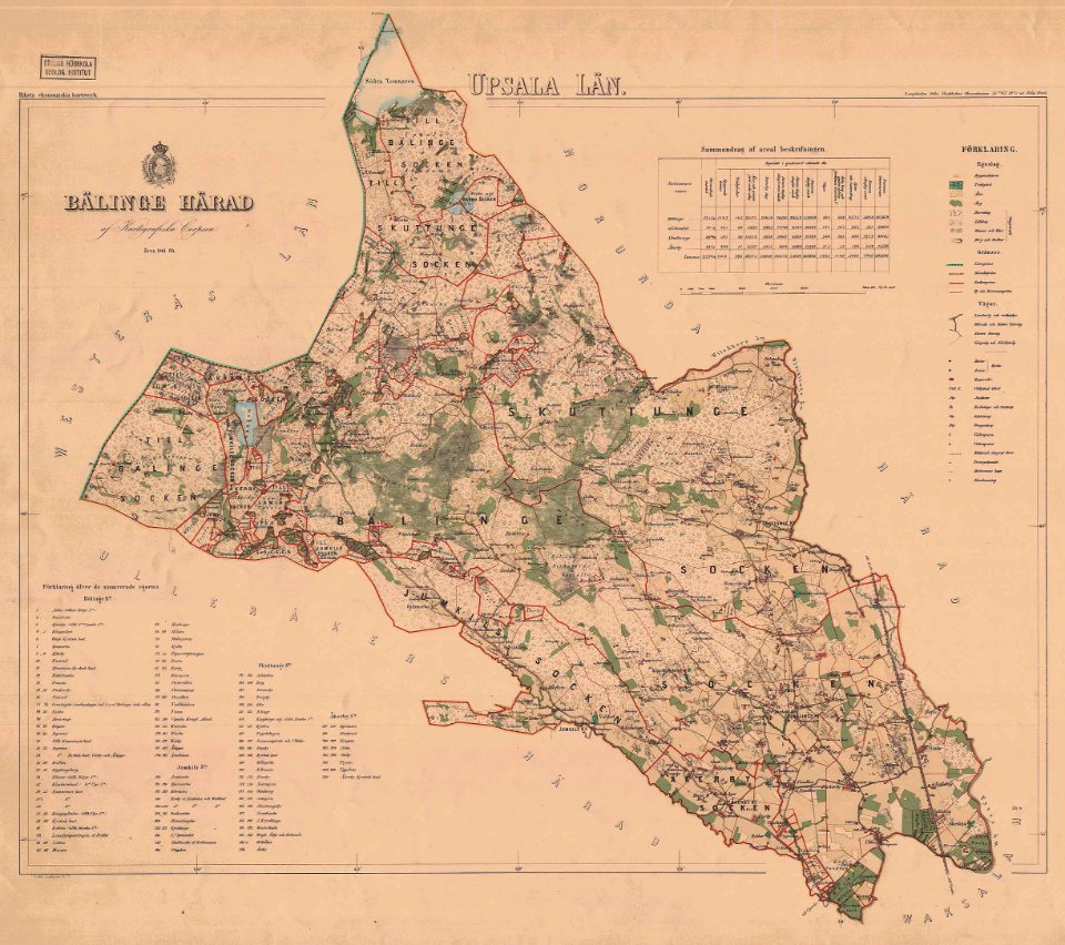
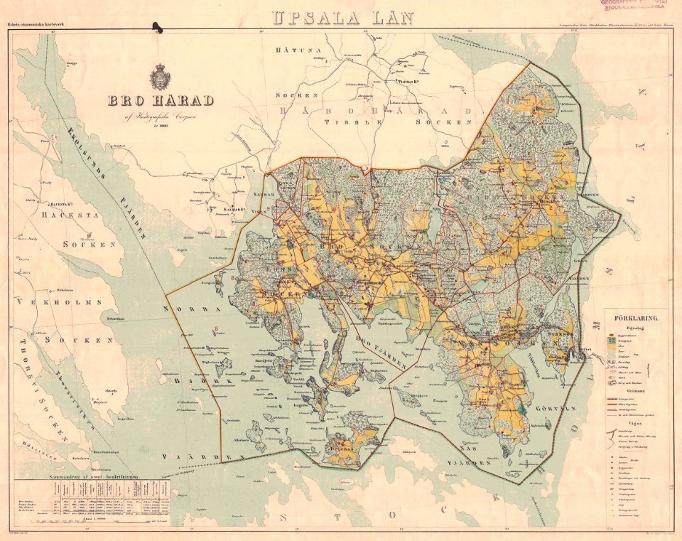
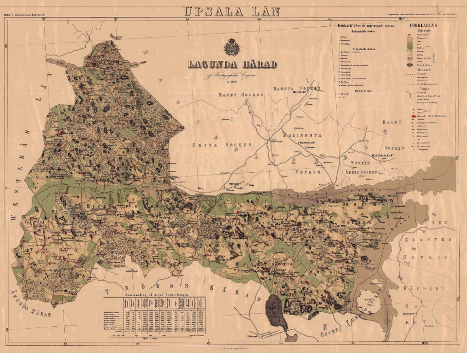
maps of the history of sweden
maps of the history of sweden
1386 in sweden
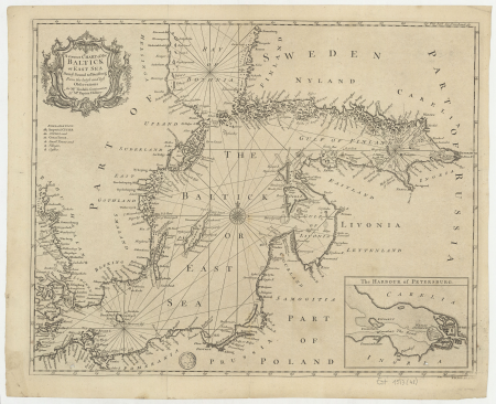
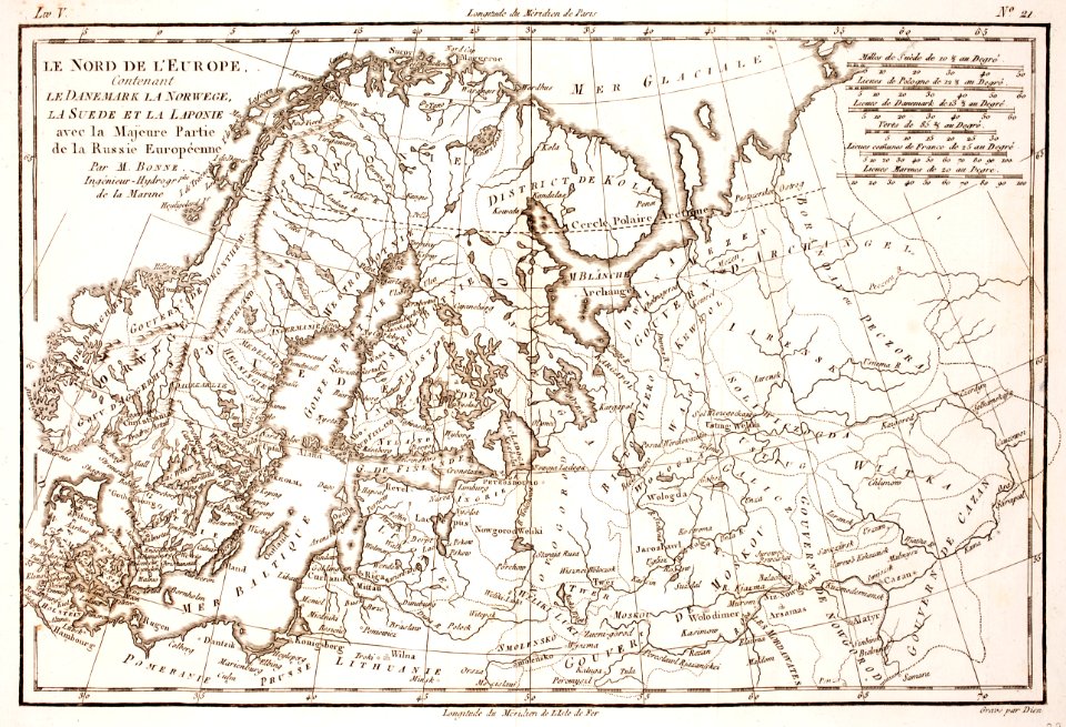
18th-century maps of the baltic sea
1770s maps of sweden
maps of the history of sweden
maps of the kalmar union
den danske hærs historie til nutiden og den norske hærs historie indtil 1814
maps from the mechanical curator collection
maps of the history of sweden
old maps of scandinavia
maps from the mechanical curator collection available to georeference
maps from the mechanical curator collection
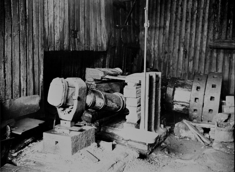
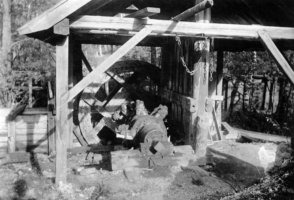
photographs by lars kennerstedt
drawings in kulturmiljöbild
den danske hærs historie til nutiden og den norske hærs historie indtil 1814
maps of battles of sweden
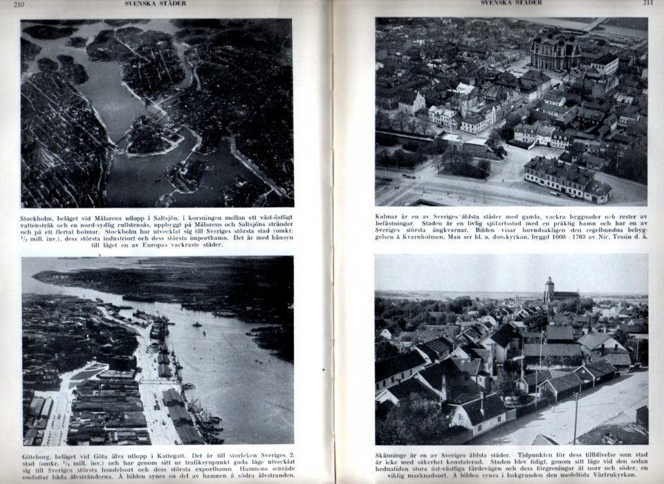
historical
history
historical
history
historical
history
cartouche (cartography)
nicholas tindal
historical
history
historical
history
historical
history
historical
history
historical
history
historical
history
1 - 37 of 37
/ 1